Imaging Satellite Data Shows: Antarctic Ice Shelf Dwindles Quicker than Estimated
We can notice a worrying trend from the imaging satellites` recent pictures, which is that Antarctic ice shelves are melting much faster than scientists thought. This quicker melting raises questions about future sea levels and shows why imaging satellites are so important for watching our changing Earth.
So, What Have Scientists Found?
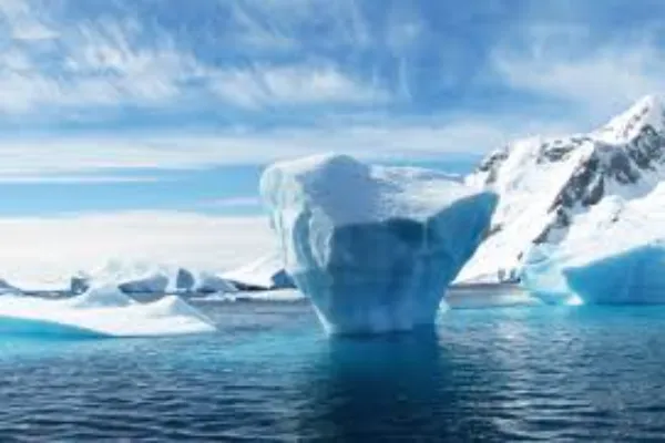
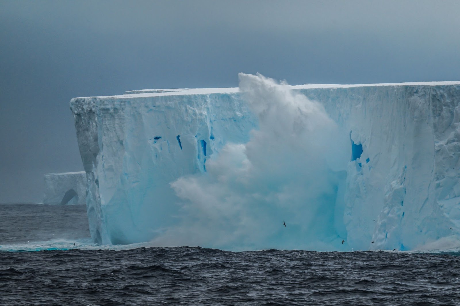
When experts looked at the newest pictures from satellite platforms showing Antarctica, they found that the ice is melting 30% faster than expected. These space technologies track both the surface and what is happening underwater, and this allows us to understand what the situation is like.
So, how is the Antarctic Ice Sheet losing mass and contributing to sea level rise? According to Dr. Eliza Chen, a specialist who studies ice, what we see in the imaging satellite data is very concerning. These shelves are like walls holding back inland ice from flowing into the ocean. As they get weaker, sea levels will rise faster.
How Do Imaging Satellites Work?
The special satellites watching the Antarctic sheet utilise several tools to see what is going on, and they are:
- Radar that can see through clouds.
- Heat sensors that detect temperature changes.
- Lasers that measure height differences.
- Gravity sensors that detect mass changes.
- Cameras that capture visual changes over time.
These types of satellites go around the Earth many times each day and collect huge amounts of information that shows changes too small for us to notice otherwise. Scientists combine all these views to build a 3D model of what is happening to the ice.
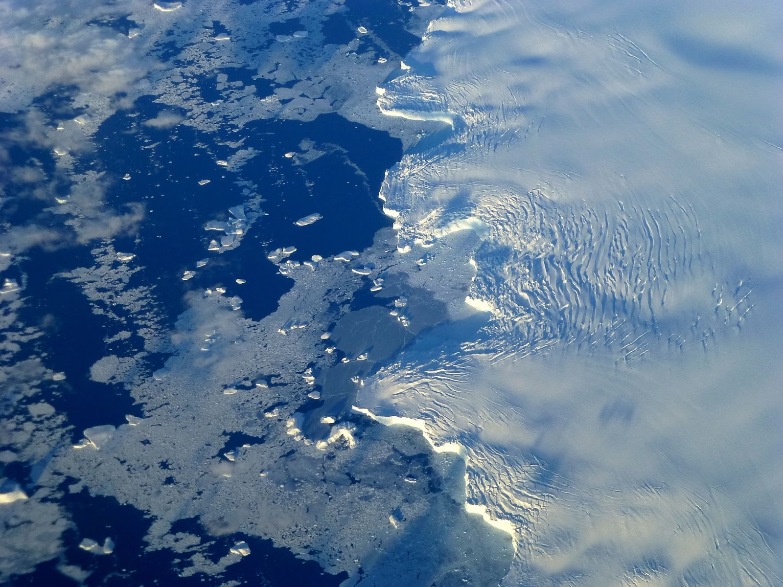
Why Floating Matters
An Antarctic ice map is created based on satellite data, and allows scientists to track changes over time. The floating shelves do not directly raise sea levels when they melt, but play an important role in the Antarctic ecosystem. These huge ice platforms move away from the mainland and slow down the movement of land-based glaciers.
How fast is Antarctica losing ice? According to the newest satellite data, the continent is losing 30% faster than previously calculated. It means there are worrying signs of weakening in key parts of these ice shelves. When space technologies spot cracks forming, it often means a large piece of ice might break off soon.
What Does This Mean for Coastal Towns and Cities?
The faster melting detected by satellites implies that we might see higher sea levels than we previously thought. Earlier predictions suggested seas would rise 1–2 feet by 2100, but these new findings suggest it could be more.
In coastal cities and on islands, even small sea level changes can greatly increase flooding risks during storms. Satellite data helps planners prepare for these changes and develop protection strategies.
The Power of Imaging Satellite Technology
Is the Antarctic sea ice vanishing? As we can see, it does, but can we do anything about it? These advanced satellites can detect tiny changes in ice thickness, which helps researchers spot problems years before they would be visible from the ground. Therefore, we can find solutions before something disastrous happens.
“Today’s imaging satellites give us almost instant updates,” explains ocean expert Dr. Marcus Williams. “Instead of comparing pictures taken years apart, we can watch changes as they happen.”
Climate experts say that while the satellite findings are worrying, they also highlight why we need to reduce greenhouse gases. The warming ocean water is the main cause of melting, which comes from climate change.
What Is the Future?
The newest space technologies represent a huge improvement in our ability to study faraway places like Antarctica. Where are the world’s two largest ice sheets? Scientists point to Antarctica and Greenland, with Antarctica being much larger. These massive ice formations are now being monitored more closely than ever before. Imaging satellites are changing how we study climate by providing valuable information that was impossible to get just ten years ago.
Research teams are now creating computer systems that can analyse satellite data more quickly, potentially spotting early warning signs of ice melting before human experts would notice. This combination of advanced imaging satellites and smart computer programs could give coastal communities more time to prepare for rising seas.
What Do You Think?
Have you been following news about Antarctic melting? What questions do you have about how satellites track these changes? If you live in a coastal area, are you concerned about rising sea levels in your community? Share your thoughts and experiences in the comments below, and let us know what other climate topics you would like us to cover in future articles!